Historical notes on the town of Sirtori
Sirtori is a town of Roman origin and owes its name to the Gens Sertoria which, in Cisalpine Gallia, was dedicated to trade and military life: exponents of the Gens Sertoria are mentioned in inscriptions from the 1st century AD.
The locality, remembered as “Sirtoles”, in 865 was part of the Martesana countryside, until it became part, together with the nearby Missaglia, of the twelve Churches of Martesana in the 12th century. The Sirtoli, lords of the Municipality and partisans of the Torriani, were exiled after the battle of Desio in 1277 and recalled home by the Visconti in 1385. The descendants of the Gens Sertoria, nominated by Francesco Sforza Duke of Milan as the ‘Sirtori family’ in 1499, was granted as a fief to the municipality: in 1647 Evangelista Sirtori was given a fief and on 3 September 1650 Philip IV king of Spain appointed Don Carlo Sirtori Feudatory of Sirtori.
The members of the Sirtori family took care of the community carefully, especially with legacies and donations thanks to their priests: in his will Bernardino Sirtori, royal feudal lord, in 1673 ordered the construction of a small church dedicated to Our Lady of the Assumption, consecrated in 1683, and still today part of the building complex owned by the Besana family.
Sources and documents
This research, given the scarcity of specific documents on the birth of the villa and the Besana park, is fundamentally based on the information deducible from the Teresian Cadastre of 1721, from the family archives kept at the villa and from the information handed down within the family.
The archive, although it does not contain documents relating to the park, with the exception of an elaborate of 1845 concerning the pond, is rich in photographic images that represent the park and its evolution from 1875 to the present day.
The Teresian Catasto
The Teresian Land Registry of 1721 is a fundamental document for the history of the villa and park complex. At that date, in fact, the current complex of the villa and the park was still divided into four distinct properties: the buildings were inhabited or rented to third parties by the different owners and the land was all cultivated except those immediately adjacent to the buildings, intended instead for vegetable gardens and gardens.
Among the different owners appear the brothers Giovanni and Guido Sirtori to whom about a third of the current property belonged; little by little the Sirtori bought all the other plots, in 1824 they owned a total of 108 perches equal to about 70,650 square meters until they became owners of the whole complex.
The Archive
The Archive holds only one document of interest in order to establish a date: a plan drawn up by Eng Francesco Medici dated 3 December 1845 reports “some innovations made by Mr. D. Gaspare Sirtori in the Sirtori Valley, not far from the town of Sirtori and adjacent to the Com.le per Viganò.”
This document testifies to the construction of a New Basin created to resolve a dispute with the Male Orphanage of Milan.
It is a “map describing a shunt cable called the Viganò river to which the waters of two fountains in Sirtori go, which said waters for having caused some damage to the possessions of the Male Orphanage in Milan, the Administration of the Orphanage petitioned Brivio’s power of attorney for Mr. Gaspare Sirtori to remedy, which he remedied by gathering the waters of the two fountains making a pond in the garden. “
From this document it can therefore be established that the park, or at least a first part of it, was built between the thirties and forties of the nineteenth century, by which time all the land making up the current complex had been acquired by the Sirtori.

The photographic images contained in the Besana Archive start from 1875. From this date it is therefore possible not only to follow the changes to the built complex, which reaches its current definition around the 1930s, but it is possible to retrace more than two centuries of the life of the park, and in some cases to be able to establish the progress of the growth of the park precisely through the verification of the dimensions reached by the tree specimens. The photos give clear evidence of how few changes have been made to the park, which are resolved almost exclusively in additions of designed elements and slight changes to the vegetation composition, some clearly intentional and others simply due to a natural replacement. They therefore allow us to establish how the structure of the park has remained substantially unchanged, even in most of the vegetation composition. The only parts that have undergone more radical changes concern the design of the flower beds, the decorative elements and some ornamental plantings in the garden parts closest to the house.
The Villa and the park
In the Teresian Land Registry of 1721, the area of the current Villa built complex Besana (parcels 330, 331 and 332) was divided into four distinct properties, one of which belonged to the Sirtori family in the persons of Don Giovanni and Guido, brothers quandum Gaspare, owners of numerous other properties in the town of Sirtori, including the small church dedicated to Madonna Assunta, erected by the will of the ancestor Bernardino Sirtori.
In particular, the parcel stacked with the number 330 was divided into 7 parts, for a total of 6 poles and 2 boards equal to 3,980 square meters, of which 1 was owned by the brothers Giovanni and Guido Sirtori (for a total of about 572 square meters) rented for use as a tavern, and 1 by Paolo Antonio Sirtori as his own home (for a total of about 299 square meters); another 3 parts were owned by Count Giuseppe Rosales as his own home and rental houses (for a total of about 1,745 square meters); the last 2 parts were owned by Antonio Tettamanzo (about 654 m2) and the Crippa brothers (about 710 m2).
The other two plots making up the current complex, 331 (1 perch and 21 boards-1,226 sq m) and 332 (23 boards-627 sq m) were respectively Casa di own residence and Casa da Massaro owned by the brothers Giovanni and Guido Sirtori.
The ownership subdivision of the buildings was matched by a similar subdivision of the surrounding land, on a part of which the current park stands: in particular, the parcels 240 (518 m2) Giardino, 241 (1254 m2) Prato, 287 were owned by the Sirtori brothers. (1,036 m2) Garden, 291 (69,596 m2) Ronco con Moroni Sedeci, for a total of 72,404 m2; del conte Rosales 236 (518 m2) Garden, 236 ½ (981 m2) Prato, 239 (518 m2) Aratory, 292-1 (15,758 m2) Ronco con Moroni ten, 292-2 (15,758 m2) Ronco con Moroni nine, 293 (2,727 m2) Pasture, for a total of 36,260 m2; of the Crippa brothers the plots 284 (1,690 m2) Ronco con Moroni one, 285 (4,800 m2) Pascolo, 286 (12,190 m2) Ronco con Moroni six, for a total of 18,680 m2; the 294 (1,036 m2) Pascolo parcel belonged to the Pirovano brothers;

In 1762 the Sirtori bought the buildings and lands of Count Rosales and in 1824 those of Antonio Tettamanzo. Subsequent changes of ownership testify to the acquisition of the Crippa and Pirovano parcels, all agricultural land except for those buildings stacked in parcel 330 which were probably located in the westernmost part: the Sirtori thus came to own all the parcels on one part of which the park was later built.
The property then passed to his successor, Gaspare Sirtori; in 1862 Teresa Prevosti, of Febo Prevosti and Costanza Besana, widow of Gaspare Sirtori took over the entire property, to then bequeath it in 1890 to her sister Camilla with the bond that in the absence of heirs it would pass to her cousin Giovanni Besana.
In 1899, on the death of Camilla Prevosti, was succeeded by Giovanni Besana, to whose descendants the villa and the park still belong today.
The Villa
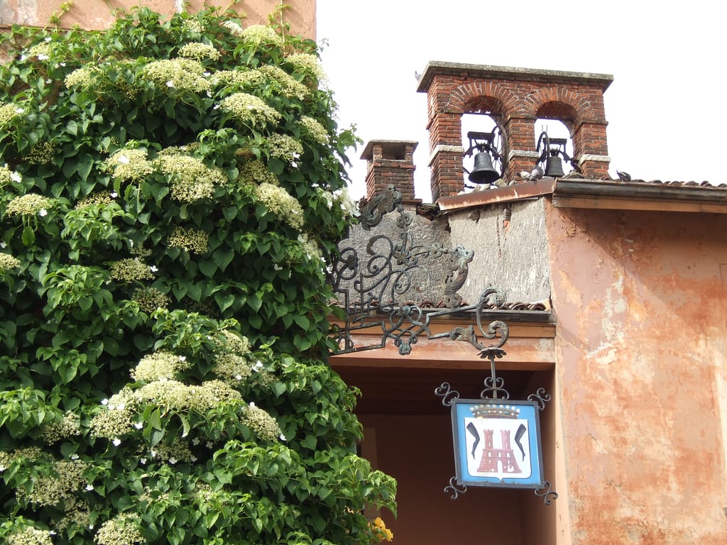
The building of the villa is said to rise on the ruins of the ancient castle of the Feudal Lords of Sirtori, whose construction dates back to the 16th century. The complex is located in the inhabited center, not far from the square of the parish church and the Town Hall, on the provincial road that connects Sirtori to Viganò and is composed of the main building used as a private residence, the concierge, rural buildings, stables, sheds and converted barns, and the oratory of the Madonna Assunta, located outside the enclosed complex, on the opposite side of via Giovanni Besana.
Currently the main building is characterized by a tripartite facade horizontally divided by high string courses, and punctuated by windows with large shaped frames and balconies with elaborate railings of clear eighteenth-century taste, as well as various elements present in the interiors, which seem to lead back to a general renovation. In fact, at that time, and precisely to the building registered in 1721 with the number 331 already owned by them, that part of the parcel 330 owned by Count Rosales, which very presumably was the one immediately adjacent to 331, in consideration of the location of the land of the Count Rosales, which is assumed to have been adjacent to the part of the house he owned.

As for the main building, a new transformation took place between 1875 and 1896, plausibly after 1890, when a third floor was added to the advanced body to make it uniform with the main facade (photo nos. 1,2,3 / 1875, 6/1896). Between 1896 and 1901 the rear section of the main facade (photo no. 6/1896) was advanced and the facade assumed a continuous and completely symmetrical curtain (photo no. 13/1901. It is very likely that the transformations of the facades were also accompanied changes to the interiors. Between 1903 and 1908 (photo n.14 / 1903 and n. 16/1908) the façade was again modified on the ground floor: the plaster was redone, the windows were surrounded by new cores nici and two pairs of openings are unified into two large windows. Giovanni Besana was most likely responsible for these transformations and, having inherited the property, undertook renovation works. Around the 1920s and 1930s, part of the buildings were demolished towards the main entrance on Via Giovanni Besana, with a consequent expansion of the rustic courtyard at the back of the main building (photos n. 17/1909 and n. 23/1938 and 31/1941 ).
In the 1980s, new changes were made to the internal division of the rooms.
The park
From the analysis of the cadastral maps of 1721 and their comparison with the design of the park, it can be seen that the park was created by adapting to the pre-existing and orographic conditions of the land. These conditions, in fact, were wisely exploited to create all the main structural elements of the landscape park.
The boundaries of the park follow the paths of the two main roads, the municipal road that connects Sirtori to Barzanò to the west and the current Via Besana, to the east, which continues in a south / east-south direction. The extension of the park covers part of the land which, with the acquisitions completed around the 1930s, are owned by the Sirtori. To the south, the boundary of the park follows the boundaries of the fields for some stretches.
The access roads to the internal fields become the basis for the park’s system of paths: driveway and paths follow part of the existing paths and the junctions of the country roads from the main ones become the entrances to the park.
The document preserved in the archive testifies how the lake was built in 1845, to solve a problem of water collection: it is therefore between the thirties and forties that the creation of the park can be established.
The photos preserved in the archive testify to the evolution of the park from 1875 to today: from a photo of 1896 (photo no. 7/1896) we can see how the plantations around the lake were composed of already mature specimens confirming that the lake and this part of the park were not recent achievements. In that same photo we can see the presence of a dock on the right of the tributary channel, whose outlet is delimited by stones. In a photo from 1920 (photo no. 22/1920) the stones where the canal flows are still present, but the dock, which is currently on the opposite bank, has disappeared. Furthermore, in a previous photo (photo n. 9/1896) we can see how the plants immediately around the lake are already large, while the trees on the border that can be seen in the background are decidedly smaller, from which we can assume that the plantations along the shores of the lake had begun many years earlier than those along the shores.
The first photos, from 1875, show a representation of the complex built in the time when Teresa Prevosti, widow Sirtori, was the owner: in them it can be seen that the parts directly adjacent to the main building already had the conformation they still present today, while they seem there are no ornamental conifer plantations that characterize the current park, now stabilized in 1908 (photo no. 18/1908). More numerous are the photos of 1896: they show plantations that have already reached a certain maturity (photo no. 5/1896), even around the building: in particular on that date (photo no. 8/1896) the planted magnolias appear in front of the advanced body of the building.
Particularly interesting is the layout of the square in front of the villa and the one where the tennis court is currently located between the end of the nineteenth century and the beginning of the twentieth century. In front of the main front there was a gazebo probably covered with ivy (photo nos. 4/1896 and 11/1896) which was then dismantled, owners of the Besanas, to discover the well it covered (photo n. 13/1901); in 1901 a new parterre was built (photo no. 12/1901) with flower beds with a curvilinear design.
There were different types of flower beds in the garden around the villa: some were circular and slightly raised, with mosaic flower borders, with a central palm tree (photo n.14 / 1903), while others were cultivated with aquatic plants and borders of annual plants. (photo no. 15/1903), even a flowerbed with an arboreal Datura is represented, as evidence of a well-kept garden with valuable species (photo no. 17/1909). Subsequently, this multiplicity of forms seems to tend to simplify into low flower beds with rocailles borders (photo no. 19/1910) with a design more similar to the current parterre. The parterre as it is today is represented for the first time in 1941 (photo no. 29/1941).

Among the clearly nineteenth-century creations of the park are the aedicule of Sant’Elena (photo n.24 / 1938), enclosed in a semicircle of cypresses, the circle of Liriodendron tulipifera, which in 1938 had already reached a considerable height ( photo no. 30/1938), almost equivalent to the current one, which is of over fifty meters, and the various tree screens that guide the eye in wide perspective telescopes.
The Roccolo di carpini, according to family testimonies, was still in use in the early years of the twentieth century, but there are no images of it, while some photos from 1938 depicting the Viale delle Palme (photo no. 26/1938), the Labyrinth (photo no. 27/1938) and the hornbeam tunnel or Carpinata (photo no. 28/1938) show how these had now reached a stabilized configuration.
In more recent decades, some production plantations have been introduced into the park, such as groups of Populus nigra (photo n.35, undated), Salix caprea, or groups of conifers not always respectful of either the design or the age of the park, which often obstruct views or cause competition.
The swimming pool was built in the seventies, unfortunately on the main perspective axis.
After the 1986 restriction decree, attention to the park has increased and the most recent interventions go in the direction of careful conservation of the park’s landscape values, as evidenced by the plantation of three beech trees, a short distance from the degraded and destined specimens to felling, ready to replace the latter in the perception of perspective, in the period that necessarily passes between the decay of the original specimens and the attainment of a sufficient size for the same perception of the new specimens that will be planted in the same place.
Final remarks
The complexity of the detected structure would suggest the presence of a specific project at the origin of this park, even if there is no trace of it; in this case the tradition handed down in the family that it was an administrator to allocate the money for the construction of the park could be supported, since it often happened that administrators of large properties had the skills for this kind of realization. It is certain that the design of the park was dictated by the landscape conditions of the land at the time of its creation: the path of the avenue that follows and connects the paths of the existing roads, the openings and perspective views that exploit the differences in height and the course of the land , demonstrate a careful exploitation of the existing conditions that recovered rather than completely transforming the morphology and design of the landscape.
From the documents analyzed it is however possible to establish some fixed points.
The park did not exist before the 1830s, when the acquisition of all the land making up the current property was completed; it was most likely started by Gaspare Sirtori, who built the lake in 1845, and in 1896 it presented an important and certainly not accidental vegetation which has now reached maturity;
It is therefore assumed that certain plantations such as those of the Liriodendron or of the ornamental conifers of the screen do not seem to have occurred already at the time of the creation of the lake because in 1875, when the garden adjacent to the villa already had its current layout, they could not yet be seen plantations of a certain importance, while in 1896 the photographs show the presence of trees that had already reached considerable dimensions.
Other creations, some of which confirmed by photographic documentation, certainly have a twentieth-century character, such as the parterre and the arrangement of the four statues, represented for the first time in 1967 (photo no. 32/1967). Similarly, the Viale delle Palme, a species used until 1896 as a single specimen in flowerbeds (photo n.10 / 1896) and later in ornamental groups (photo n.20 / 1920), and the Labyrinth, whose first documentation photographic dates back to 1938 (photo n. 27/1938) whose very schematic and rigorous drawing refers to the first decades of the last century.